

Pilot docs: how to use the briefing app.
One page per task: reading the map, details, search, filters, briefings, offline use and your account. For the aviation background, such as AUP/UUP or graphical NOTAMs, read the pilot guides.
Using NOTAMbriefing.com


Overview
Start here: what the app does, Dynamic Airspace Mapping in short, what each plan includes, and a map of these docs.


Map and legend
What the colours, lines, markers and icons on the map mean, including live activation colours.


Types and classes
Every airspace type and class with its code and map icon, and what most types mean for a pilot.
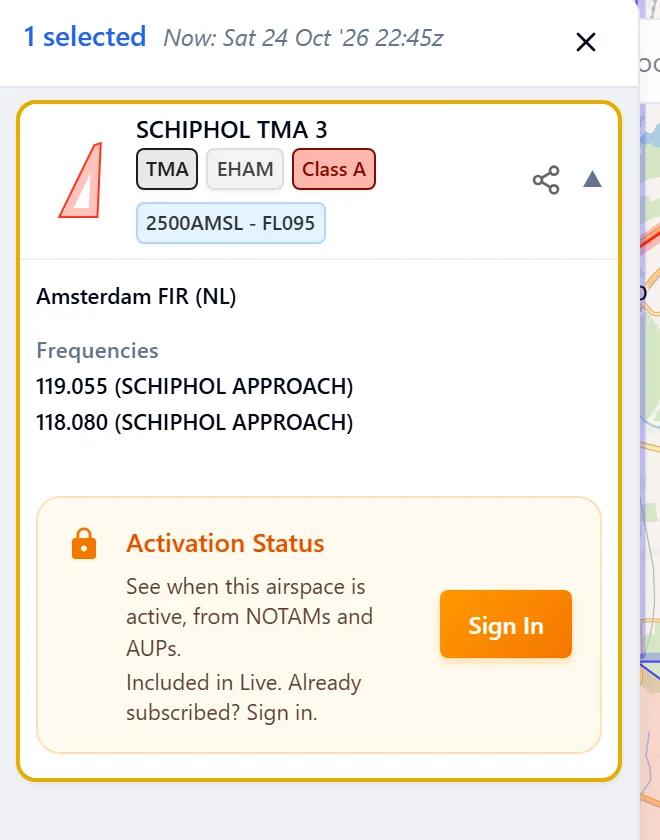
Details
What you see when you tap the map: status badges, when an airspace is active, its sources, and airport NOTAMs.
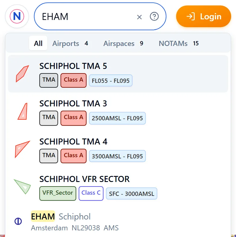
Search
What you can search for, the coordinate formats the search box understands, and recent searches.


Filters
Set your Activity range and hide what you don't need: altitude, status, NOTAM subjects, airports, types and classes.
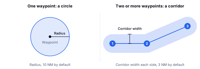
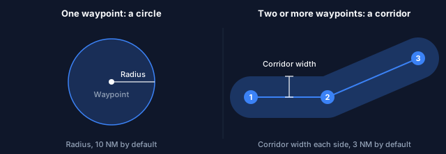
Briefings
Brief a radius or a route corridor, edit waypoints, read the result, and save, share or print it.
App and data
How fresh the data is, what works offline, app updates, installing the app, and what to try when something breaks.
Account
The account menu and pages, device settings such as text size, AI assistants, and kiosk mode for shared screens.
AI assistants
Connect an AI assistant to NOTAMbriefing.com, what it can see with your plan, how to disconnect it, and where to get help.
Ask the team
Ways to contact the NOTAMbriefing.com team for product questions, license support, data feedback, API access, and media inquiries.
Shortcuts
Use the app without a mouse: every shortcut for search, the map, menus, details and briefings.